
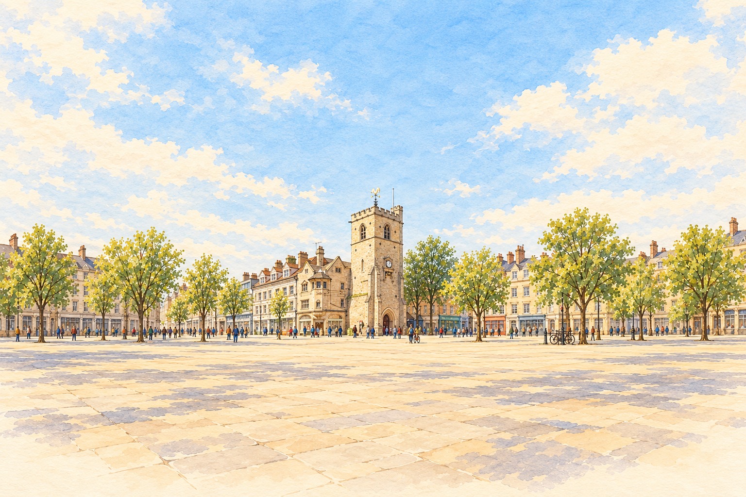
A city with more than one story
Oxford's college buildings are its most familiar landmarks, but they are only part of the picture. Around Carfax and the High Street, independent shops, cafés, workplaces and cultural venues sit alongside the university. The Radcliffe Camera gives the skyline one of its best-known shapes, while ordinary errands lead you into a much wider city.
For someone settling here, the useful map is often a neighbourhood one: where to find a reliable repair, somewhere for lunch, a regular class or a shop that knows its stock. This directory brings those everyday connections together.
Get to know the neighbourhoods
Jericho's Walton Street has places to eat and independent businesses close to the centre. Summertown has its own shopping stretch along Banbury Road. Headington serves a busy eastern part of the city, while Cowley Road and the communities farther south bring another mix of food, services and local life.
Botley, Kidlington and the surrounding villages are worth checking too. A business may work throughout Oxford while keeping its actual base outside the city boundary. We retain that location in the listing so you can judge the journey or ask about coverage.
Plan the journey as well as the destination
Oxford's road access arrangements can change. Check the county council's current traffic-filter information before driving across the city, and use the council's Park and Ride information when planning a centre visit. Do not assume a route that worked previously is still suitable.
Start with something local
Choose a category, then narrow the search by area and service. The best introduction to Oxford may be a conversation with a shopkeeper or joining an activity close to home.
Spotted something out of date? Let us know.